
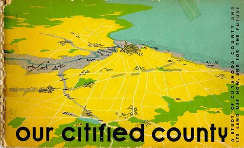
The Cuyahoga County Planning Commission recently digitized an interesting document, Our Citified County: A Study of Cuyahoga County and Its Land Use Now, and for the Future. The title, published in 1954 by the Regional Planning Commission, examines land use in Cuyahoga County.
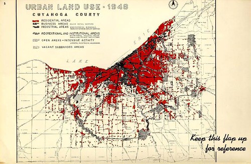
Maps illustrate the use of land within the county, as of 1948. The red shows residential areas, while the darker areas are indicative of business and industry. We can also see the dedicated parkland, especially in the outlying areas - most notably the areas now known as our MetroParks.
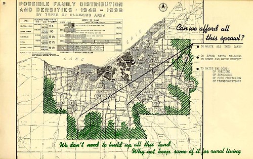
The authors suggest that the vacant land at the extremities of the county might most cost-effectively remain as rural land.
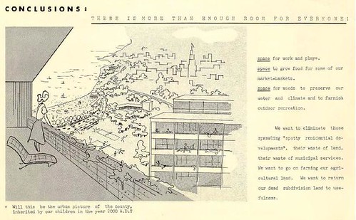
The document concludes by painting a picture of the Cuyahoga County of the future - both literally and figuratively. There's the suggestion that proper land use wout provide space for us to grow our food locally, provide space for work and play, and for us to preserve water quality.
Overall, it's an interesting view of how we might have developed in the past 50 years. The questions raised are many of the same ones that we're facing now, though the vacant land is in different areas now.
Many Thanks to our county planning department. It is the one county department that works.
ReplyDeleteMichael Kannard